snorkelnow.dev
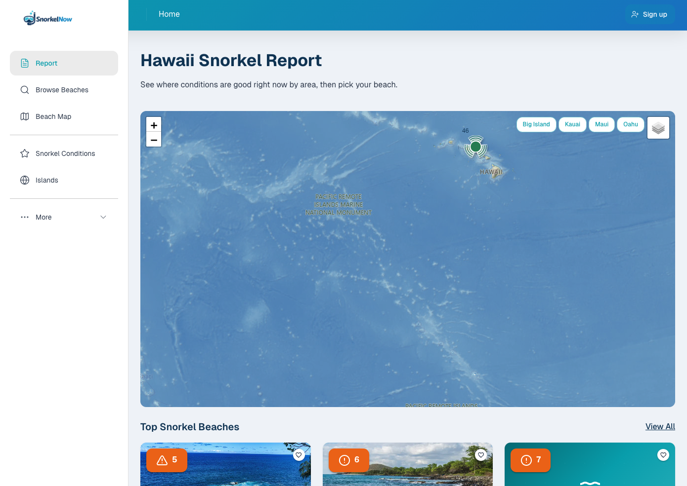
SnorkelNow helps snorkelers and travelers decide where to go in Hawaii by translating marine and weather data into plain-language beach conditions. The public app features an interactive map, ranked snorkel reports, and detailed beach pages with visibility, wave height, wind, water temperature, and forecast trends. A full admin CMS manages beaches, islands, articles, and media, while scheduled jobs sync forecast data from Stormglass and NOAA so pages load fast without hitting external APIs on every visit.
Planning a snorkel day in Hawaii means juggling scattered marine forecasts, weather apps, and forum posts — none of which tell you which specific beach is best right now. Raw data like wave height and visibility is hard to interpret, and conditions change quickly across islands and shorelines.
SnorkelNow aggregates marine and weather data from Stormglass and NOAA, stores it on a schedule for fast page loads, and runs it through a custom scoring engine that weighs visibility, swell, wind exposure, tide, and safety thresholds. The result is an interactive map, ranked daily report, and beach-level summaries in plain language — plus an admin CMS and embeddable widgets to manage content and share conditions with partners.
Reach me at:
webbdeveloping@gmail.com